Fort Vermilion Heritage Centre
Menu
  • External link opens in new tab or window
  • External link opens in new tab or window
  • External link opens in new tab or window
  • External link opens in new tab or window
  • External link opens in new tab or window


DID YOU KNOW?

There are a few theories regarding where Buttertown got its unique name.


 One states that residents made butter in such quantity that it was traded to the Hudson's Bay Company and to independent traders for resale locally - and delivery to remote northern locales.


Another is that the trails were so bumpy that cream in transport would soon turn to butter!

Enter page title here

Buttertown

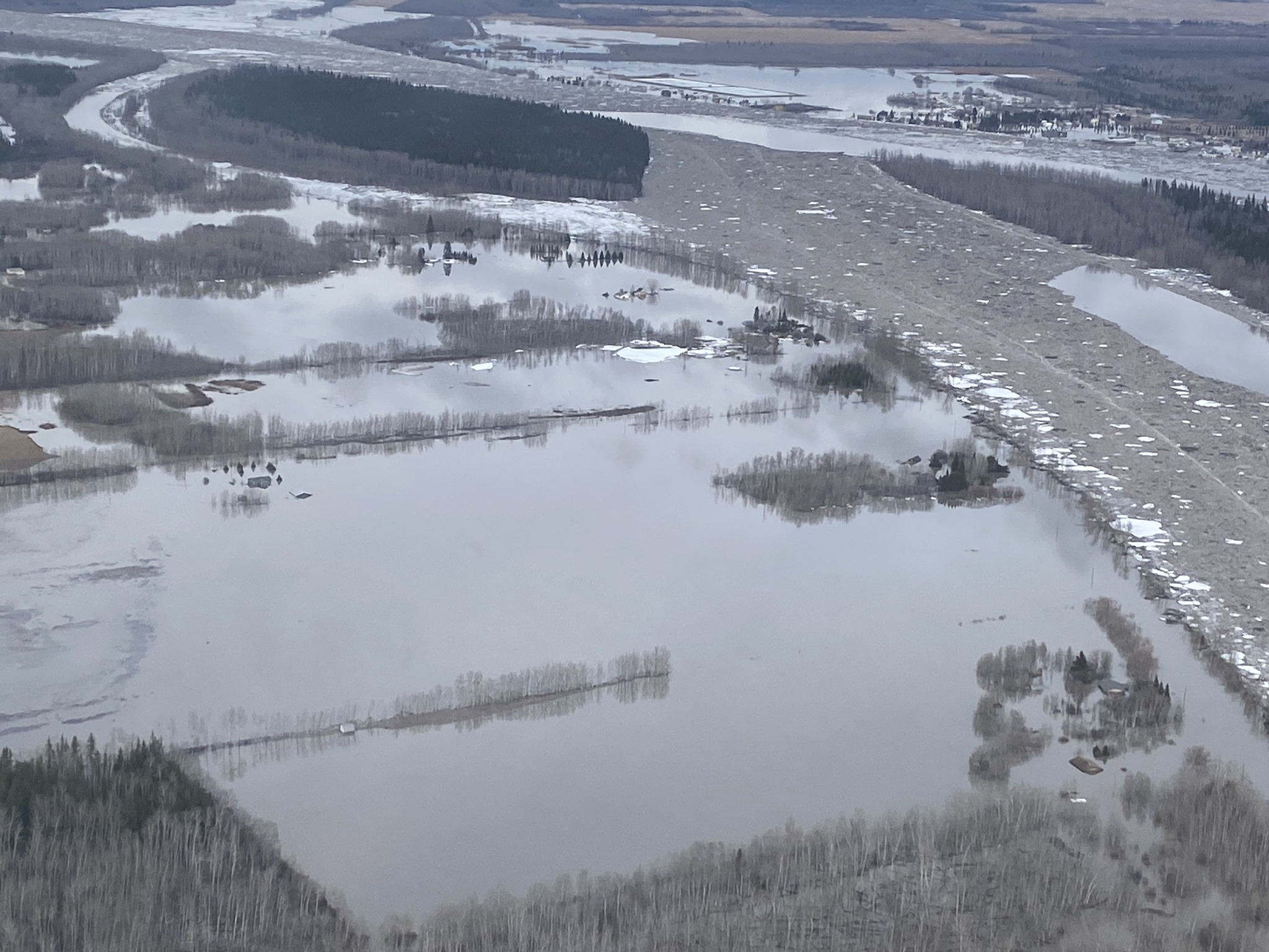
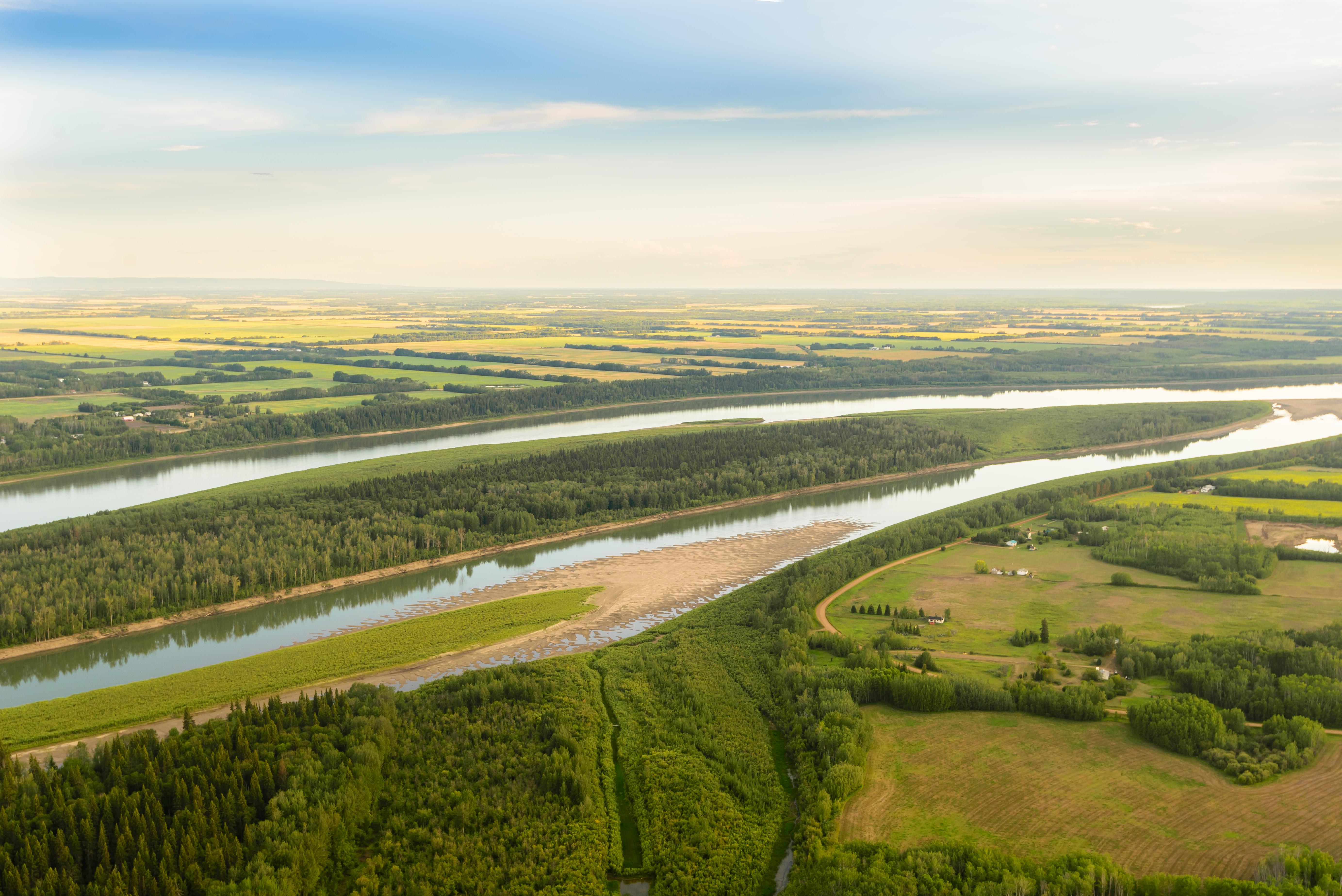
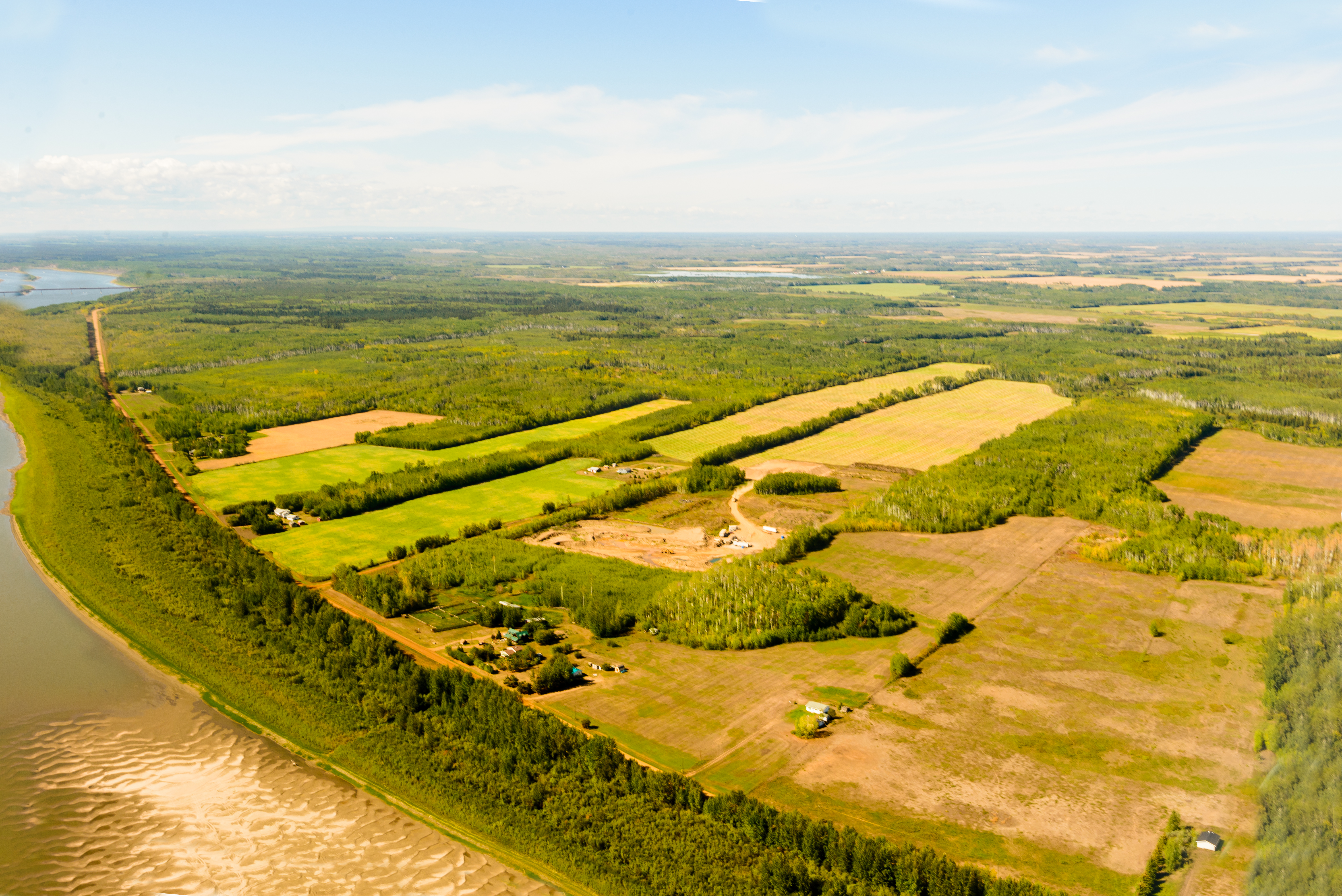
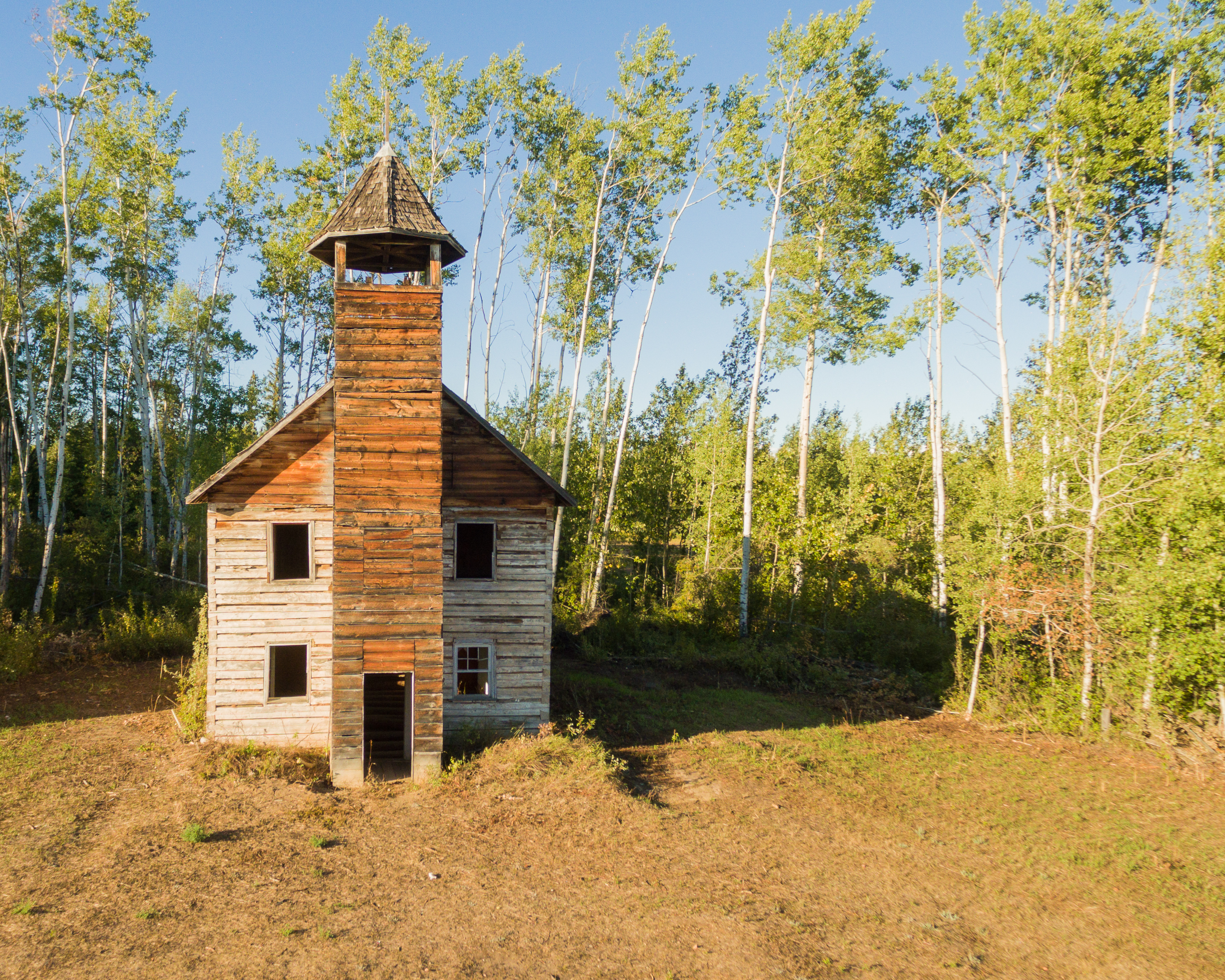
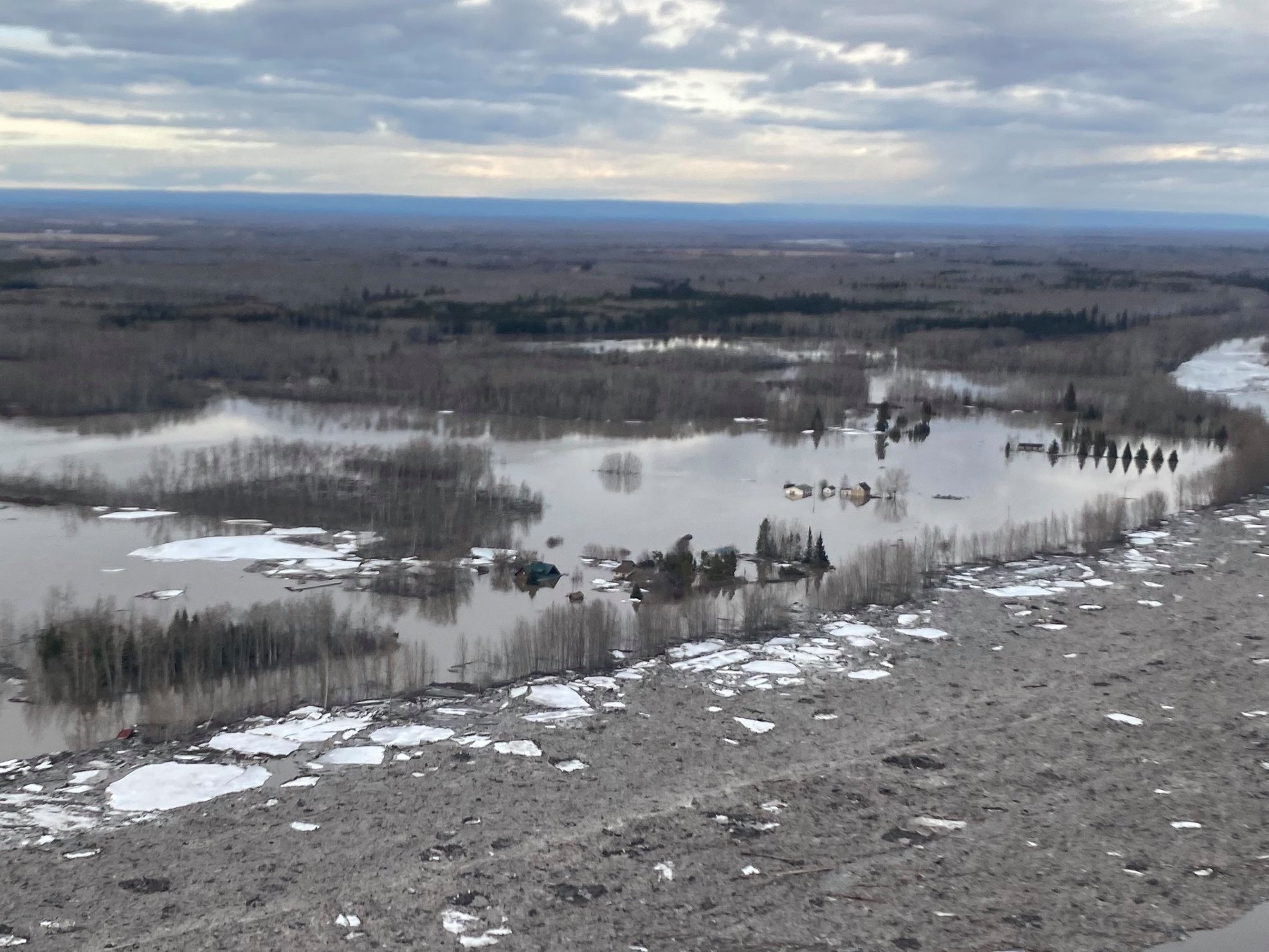
oIf you linger at the Fort Vermilion Bridge or camp at the Bridge Campsite you are on the doorstep of "Buttertown." This settlement is located across the Peace River from Fort Vermilion. Land holders had one or more river lots, each with river frontage and land for pasture, hay, crops and gardens. The now abandoned Buttertown School dates from 1948.  Hand-hewn logs were used to build the St. Louis Roman Catholic Church, a store, pool halls, cabins and several houses.  It is "North Vermilion" on maps and signs, but locals still call it "Buttertown." A ferry in the summer (and ice road in winter) provided access between Fort Vermilion and Buttertown. Both of which were unsafe every year during spring thaw and fall freeze - up. Nearly breaking through the ice and "Ice floe hopping" have been made obsolete with the Fort Vermilion Bridge being built in 1974 - but the stories of such activities live on in local legend. 


Buttertown flooded in spring of 2020. Facing south east - notice Fort Vermilion in top right corner. 
Photo Credit: Jake Fehr
Buttertown flooded in spring of 2020. Facing south east - notice Fort Vermilion in top right corner. Photo Credit: Jake Fehr
Butter town beach (sand bar centre of image) is accessible with a quick walk down the trail to the riverbank. The beach has gorgeous soft sand and wonderful swimming - though is only available when the river is low - usually late July early August. Contact us to learn where the access trail is! 
Photo Credit: Jacob Marfo
Butter town beach (sand bar centre of image) is accessible with a quick walk down the trail to the riverbank. The beach has gorgeous soft sand and wonderful swimming - though is only available when the river is low - usually late July early August. Contact us to learn where the access trail is! Photo Credit: Jacob Marfo
Some of the residences of Buttertown area. This is facing northwest.
Photo Credit: Jacob Marfo
Some of the residences of Buttertown area. This is facing northwest. Photo Credit: Jacob Marfo
St Louis Church. Officially opened in 1909, stands empty though not abandoned in the hearts of the people. The grounds of the Church and Cemetry are upkept. 
Photo Credit: Jacob Marfo
St Louis Church. Officially opened in 1909, stands empty though not abandoned in the hearts of the people. The grounds of the Church and Cemetry are upkept. Photo Credit: Jacob Marfo
Buttertown flooded in Spring of 2020.
Photo Credit: Jake Fehr
Buttertown flooded in Spring of 2020. Photo Credit: Jake Fehr
Buttertown flooded in spring of 2020. Facing south east - notice Fort Vermilion in top right corner. 
Photo Credit: Jake Fehr
Buttertown flooded in spring of 2020. Facing south east - notice Fort Vermilion in top right corner. Photo Credit: Jake Fehr
Butter town beach (sand bar centre of image) is accessible with a quick walk down the trail to the riverbank. The beach has gorgeous soft sand and wonderful swimming - though is only available when the river is low - usually late July early August. Contact us to learn where the access trail is! 
Photo Credit: Jacob Marfo
Butter town beach (sand bar centre of image) is accessible with a quick walk down the trail to the riverbank. The beach has gorgeous soft sand and wonderful swimming - though is only available when the river is low - usually late July early August. Contact us to learn where the access trail is! Photo Credit: Jacob Marfo
Butter town beach (sand bar centre of image) is accessible with a quick walk down the trail to the riverbank. The beach has gorgeous soft sand and wonderful swimming - though is only available when the river is low - usually late July early August. Contact us to learn where the access trail is! 
Photo Credit: Jacob Marfo
Some of the residences of Buttertown area. This is facing northwest.
Photo Credit: Jacob Marfo
St Louis Church. Officially opened in 1909, stands empty though not abandoned in the hearts of the people. The grounds of the Church and Cemetry are upkept. 
Photo Credit: Jacob Marfo
Buttertown flooded in Spring of 2020.
Photo Credit: Jake Fehr
Buttertown flooded in spring of 2020. Facing south east - notice Fort Vermilion in top right corner. 
Photo Credit: Jake Fehr
0


For more information on the connections between Buttertown and the Metis People (specifically women and moontime teachings)  click the link below and read Hanna Paul's Thesis!

Back to Attractions Back to Attractions Next AttractionNext Attraction

Contact Us
  • External link opens in new tab or window 5001 44th Tardiff Ave. , CA, Fort Vermilion
  • External link opens in new tab or window7809274603
  • External link opens in new tab or windowfvhc@hotmail.ca
Useful Links

Home

Hours

Contact

close lightbox